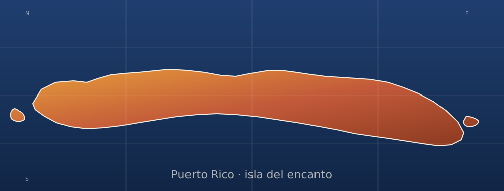
sobre este lugar
Spanish Virgin Islands
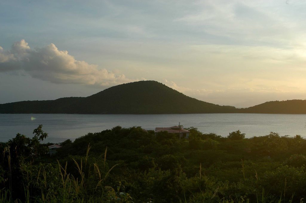
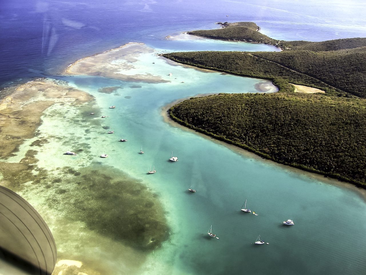
📍 Culebra
The Spanish Virgin Islands, formerly called the Passage Islands, commonly known as the Puerto Rican Virgin Islands, consist of the islands of Vieques and Culebra, which are administratively part of the archipelago of Puerto Rico as municipalities. Located between the main island of Puerto Rico and the U.S. Virgin Islands in the northeastern Caribbean, the islands are geographically part of the archipelago of the Virgin Islands in the Leeward Islands of the Lesser Antilles.
dónde está
Ubicación & cómo llegar
Coordenadas exactas: 18.22674, -65.33844 · Municipio de Culebra
dónde quedarte cerca
🏨 Ver hoteles cerca
Links afiliados — el precio para ti no cambia, al reservar nos ayudas a mantener el sitio.
Más Otros lugares cerca

desbloquea todo
2,004 rincones de PR en tu bolsillo
GPS exactos, rutas completas, fotos HD, costos reales y las guías que nos tomó años armar.
- Todas las coordenadas GPS exactas + 1-click a Waze/Maps
- Rutas curadas por nosotros: "Fin de semana en Utuado", "Chinchorreo Ruta 184", etc.
- Alertas de ofertas de vuelos antes que en IG
- Descarga el KML offline — navega sin data
Mensual$1.99por mes
Ahorras 16%Anual$19.99≈$1.67/mes