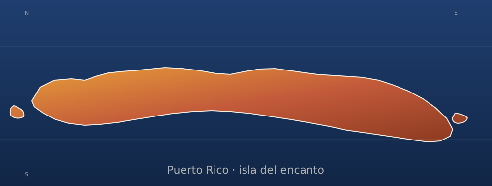
sobre este lugar
Fuerte de San José
📍 Ponce
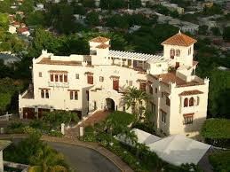
Fuerte de San José, also known as Fuerte de la Playa de Ponce, was an 18th-19th-century Spanish fortress located in Barrio Playa in the municipality of Ponce, Puerto Rico. It was part of a three-fort system design to defend the Port of Ponce, the Barrio Playa seaport village and the City of Ponce from seaborne attacks. However, only two of the three fortifications materialized, with Fuerte San José being the largest and most complete. The fort was in operation for 125 years, from 1760 to 20 Marc
dónde está
Ubicación & cómo llegar
Coordenadas exactas: 17.98060, -66.62173 · Municipio de Ponce
dónde quedarte cerca
🏨 Ver hoteles cerca
Links afiliados — el precio para ti no cambia, al reservar nos ayudas a mantener el sitio.
Más Fortalezas & Castillos cerca
desbloquea todo
2,004 rincones de PR en tu bolsillo
GPS exactos, rutas completas, fotos HD, costos reales y las guías que nos tomó años armar.
- Todas las coordenadas GPS exactas + 1-click a Waze/Maps
- Rutas curadas por nosotros: "Fin de semana en Utuado", "Chinchorreo Ruta 184", etc.
- Alertas de ofertas de vuelos antes que en IG
- Descarga el KML offline — navega sin data
Mensual$1.99por mes
Ahorras 16%Anual$19.99≈$1.67/mes