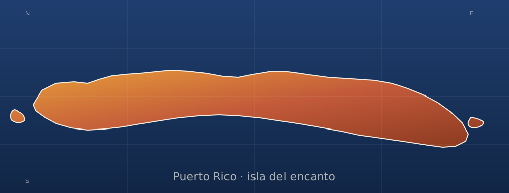
sobre este lugar
Ensenada Honda (Ceiba, Puerto Rico)
📍 Ceiba
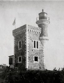
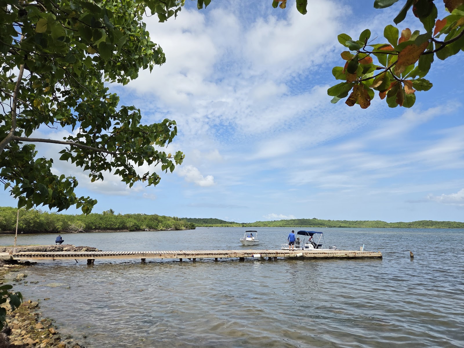
Ensenada Honda, is an inlet on Puerto Rico's northeastern coast, in the municipality of Ceiba. Early indigenous resistance and the absence of gold kept cash-strapped colonial administrations mostly away from the region, which in time grew into a pirate and smuggling hub. In the 19th century, the bay's harbor facilitated the growth of the sugarcane industry, and in the 20th century, it hosted the Roosevelt Roads U.S. Naval Station. At present, a Reserve Component maintains a military presence in
dónde está
Ubicación & cómo llegar
Coordenadas exactas: 18.21139, -65.61500 · Municipio de Ceiba
dónde quedarte cerca
🏨 Ver hoteles cerca
Links afiliados — el precio para ti no cambia, al reservar nos ayudas a mantener el sitio.
Más Otros lugares cerca
desbloquea todo
2,004 rincones de PR en tu bolsillo
GPS exactos, rutas completas, fotos HD, costos reales y las guías que nos tomó años armar.
- Todas las coordenadas GPS exactas + 1-click a Waze/Maps
- Rutas curadas por nosotros: "Fin de semana en Utuado", "Chinchorreo Ruta 184", etc.
- Alertas de ofertas de vuelos antes que en IG
- Descarga el KML offline — navega sin data
Mensual$1.99por mes
Ahorras 16%Anual$19.99≈$1.67/mes