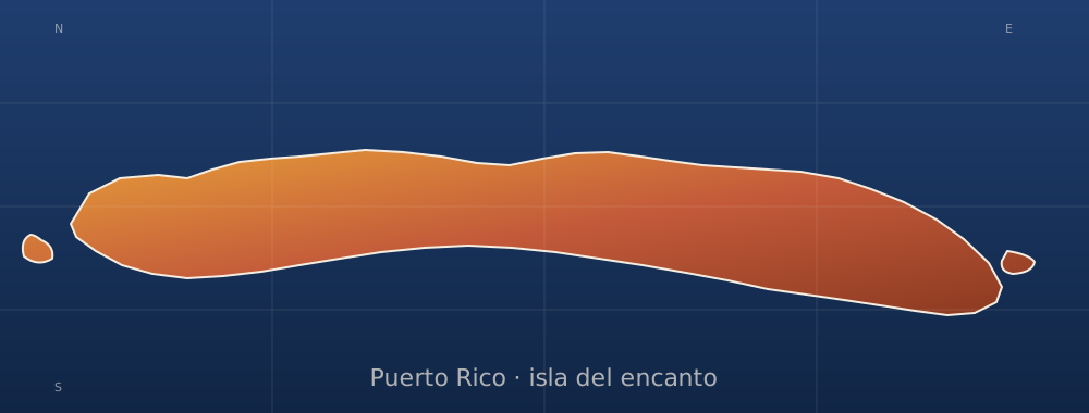
sobre este lugar
Cementerio municipal de Mayagüez
📍 Mayagüez
The Cementerio Municipal de Mayagüez, also known as Cementerio Viejo, was constructed in 1876 in Mayaguez, Puerto Rico. It was designed by the municipal architect Félix Vidal d’Ors following the master plan for the city from 1804. The outskirts of the cemetery are defined by brick walls and niches, the area is divided by two streets that intersect. Following an 1872 law the cemetery provided separated areas intended for non-Catholics and for the poor, located in the east.
dónde está
Ubicación & cómo llegar
Coordenadas exactas: 18.19135, -67.14227 · Municipio de Mayagüez
dónde quedarte cerca
🏨 Ver hoteles cerca
Links afiliados — el precio para ti no cambia, al reservar nos ayudas a mantener el sitio.
Más Museos & Cultura cerca

desbloquea todo
2,004 rincones de PR en tu bolsillo
GPS exactos, rutas completas, fotos HD, costos reales y las guías que nos tomó años armar.
- Todas las coordenadas GPS exactas + 1-click a Waze/Maps
- Rutas curadas por nosotros: "Fin de semana en Utuado", "Chinchorreo Ruta 184", etc.
- Alertas de ofertas de vuelos antes que en IG
- Descarga el KML offline — navega sin data
Mensual$1.99por mes
Ahorras 16%Anual$19.99≈$1.67/mes