sobre este lugar
Valle de Lajas
📍 Lajas
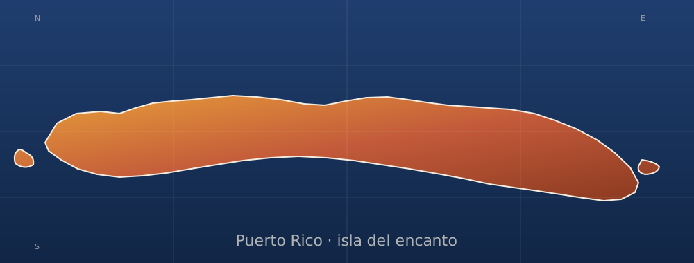
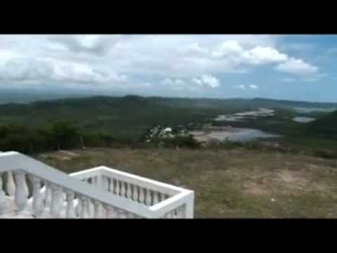
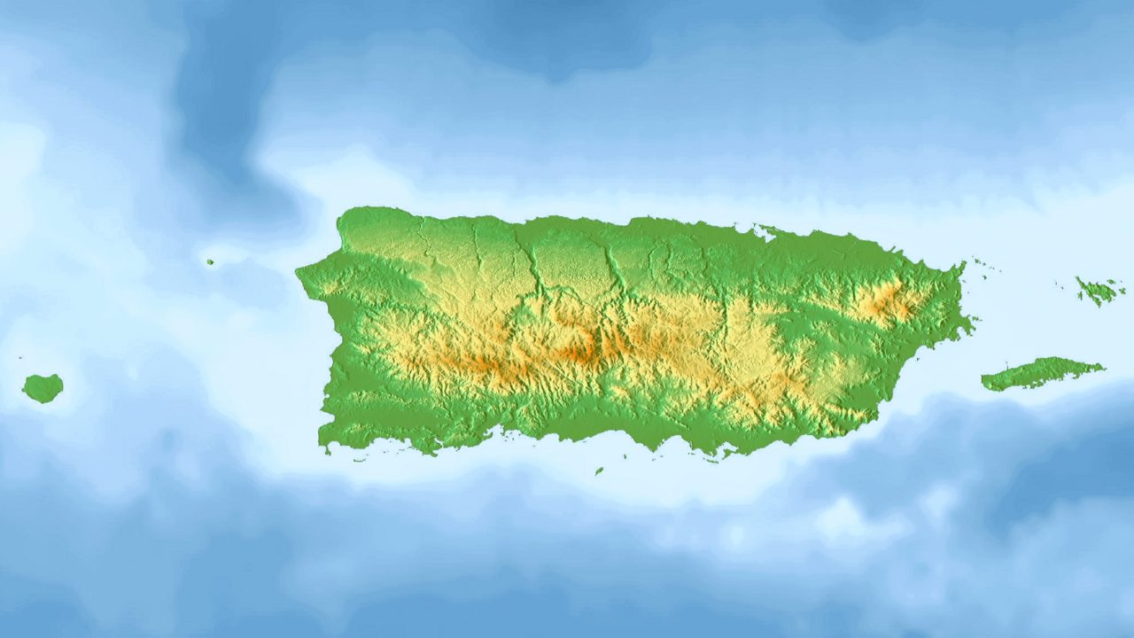
The Lajas Valley, or the Yauco-Boquerón Valley, is an anticlinal valley that runs 30 km (19 mi) long and 5 km (3 mi) wide east-to-west in southwestern Puerto Rico, within the municipalities of Lajas, Cabo Rojo, Guánica, and Sabana Grande. It is surrounded by the Cordillera Central and the Santa Marta hills to the north, the Sierra Bermeja to the south, the Boqueron Bay in Cabo Rojo to the west, and the Guánica Bay and southern karst to the east. The climate is considered moist to dry subhumid tr
dónde está
Ubicación & cómo llegar
Coordenadas exactas: 18.01472, -67.06639 · Municipio de Lajas
dónde quedarte cerca
🏨 Ver hoteles cerca
Links afiliados — el precio para ti no cambia, al reservar nos ayudas a mantener el sitio.
Más Miradores & Haciendas cerca
desbloquea todo
2,004 rincones de PR en tu bolsillo
GPS exactos, rutas completas, fotos HD, costos reales y las guías que nos tomó años armar.
- Todas las coordenadas GPS exactas + 1-click a Waze/Maps
- Rutas curadas por nosotros: "Fin de semana en Utuado", "Chinchorreo Ruta 184", etc.
- Alertas de ofertas de vuelos antes que en IG
- Descarga el KML offline — navega sin data
Mensual$1.99por mes
Ahorras 16%Anual$19.99≈$1.67/mes