sobre este lugar
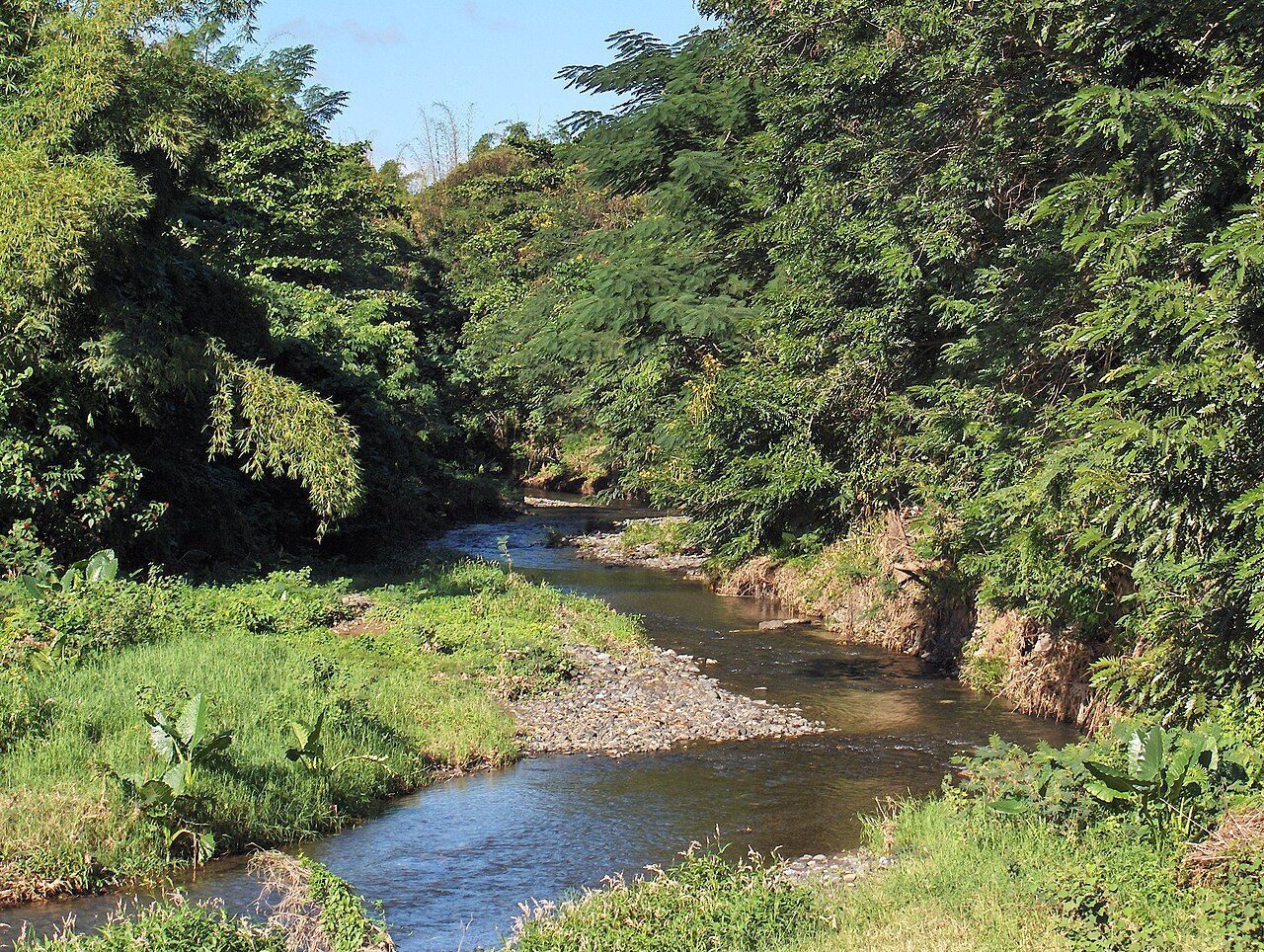
Río Caín
📍 San Germán
The Caín River is a tributary of the Guanajibo River that flows through the municipality of San Germán, Puerto Rico. The Caín has its source in the south face of the Cerro Santa Ana, also known as Monte del Estado, within the Maricao State Forest. The river is one of many that form part of the hydrological region of the Maricao rainforest ecosystem. Charco El Pilón is a popular plunge pool created by a waterfall of the same name in barrio Caín Alto within the state forest.
dónde está
Ubicación & cómo llegar
Coordenadas exactas: 18.09528, -67.04083 · Municipio de San Germán
dónde quedarte cerca
🏨 Ver hoteles cerca
Links afiliados — el precio para ti no cambia, al reservar nos ayudas a mantener el sitio.
Más Charcos & Ríos cerca
desbloquea todo
2,004 rincones de PR en tu bolsillo
GPS exactos, rutas completas, fotos HD, costos reales y las guías que nos tomó años armar.
- Todas las coordenadas GPS exactas + 1-click a Waze/Maps
- Rutas curadas por nosotros: "Fin de semana en Utuado", "Chinchorreo Ruta 184", etc.
- Alertas de ofertas de vuelos antes que en IG
- Descarga el KML offline — navega sin data
Mensual$1.99por mes
Ahorras 16%Anual$19.99≈$1.67/mes