sobre este lugar
Río Abajo State Forest
📍 Utuado
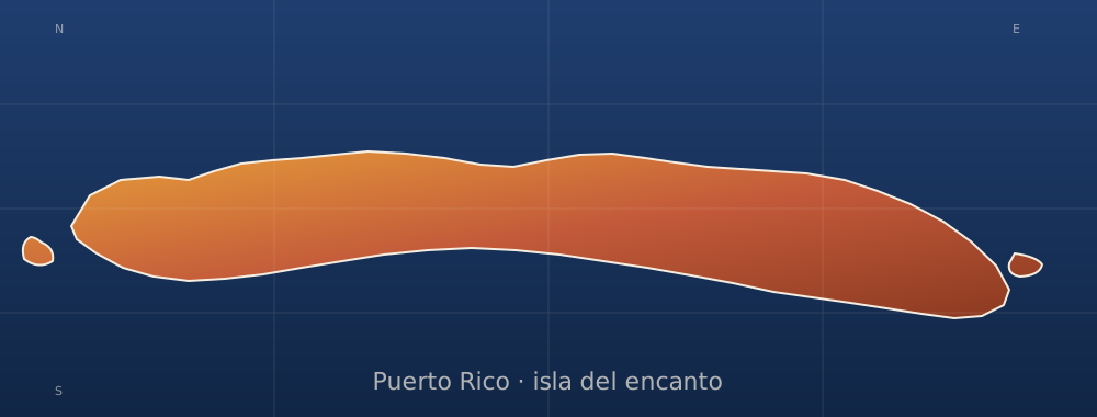
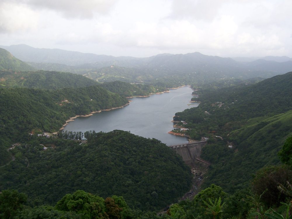
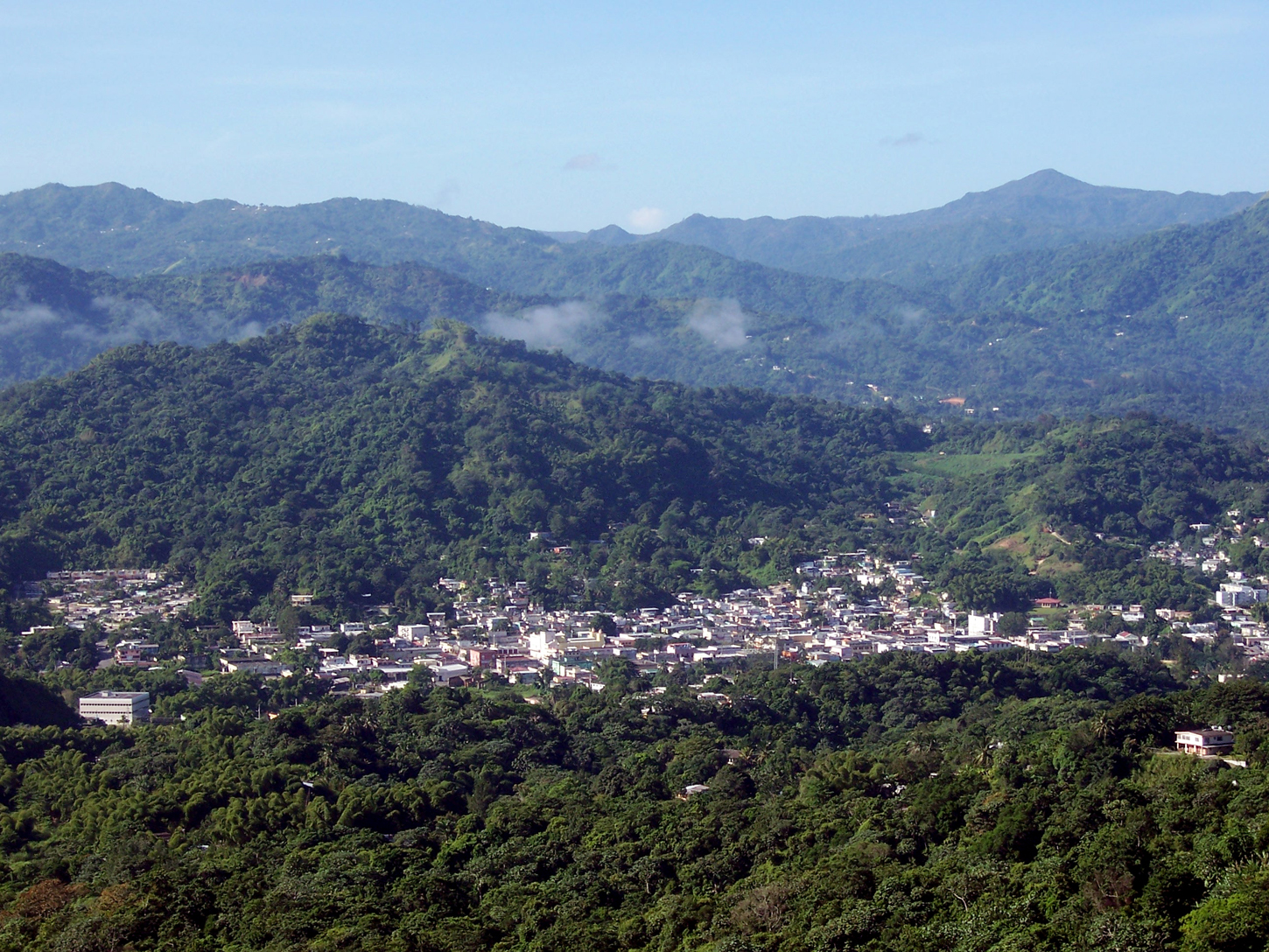
Rio Abajo State Forest is a forest preserve in Puerto Rico owned by the Department of Natural Resources and one of the 20 state forests in the island. It was designated a National Natural Landmark in 1980 and constitutes an area of 3,590 acres. It consists mostly of subtropical wet and moist karst forest. Mogotes and sinkholes fill the landscape. The forest preserve is located in the municipalities of Arecibo and Utuado. In addition to its ecological value the forest also contains a number of ar
dónde está
Ubicación & cómo llegar
Coordenadas exactas: 18.33972, -66.69972 · Municipio de Utuado
dónde quedarte cerca
🏨 Ver hoteles cerca
Links afiliados — el precio para ti no cambia, al reservar nos ayudas a mantener el sitio.
Más Charcos & Ríos cerca

desbloquea todo
2,004 rincones de PR en tu bolsillo
GPS exactos, rutas completas, fotos HD, costos reales y las guías que nos tomó años armar.
- Todas las coordenadas GPS exactas + 1-click a Waze/Maps
- Rutas curadas por nosotros: "Fin de semana en Utuado", "Chinchorreo Ruta 184", etc.
- Alertas de ofertas de vuelos antes que en IG
- Descarga el KML offline — navega sin data
Mensual$1.99por mes
Ahorras 16%Anual$19.99≈$1.67/mes